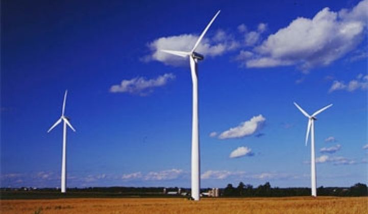
Two new online interactive maps produced by the federal government show where the nation’s wind farms are, how quickly they were built and what impact they may have on the landscape.
Wind energy is expected to make up about 4.6 percent of total U.S. electric power generation by 2015, totaling about 77,000 megawatts of wind power capacity nationwide, according to U.S. Energy Information Administration data. That’s up from 3 percent in 2012, when total U.S. wind power generation capacity was about 60,000 megawatts. Just 1 megawatt of wind power is enough energy to provide electricity to roughly 300 homes.
A new interactive map featured on the U.S. Department of Energy’s website shows how fast all those wind farms were constructed.

The first panel in the map shows the nation’s first wind farm going on-line in Southern California in 1975, producing enough electricity to power 4,149 homes. Flash forward twenty years to 1995, and there were 54 wind farms across the country, mostly in California, powering 349,000 homes.
By 1999, wind farms were coming on-line throughout West Texas, Minnesota, Wisconsin, Iowa, Colorado and Wyoming. As of 2012, there were more than 45,000 wind turbines in 39 states and Puerto Rico, providing enough electricity to power about 15 million homes.
Though all those turbines help reduce greenhouse gas emissions from coal and natural gas power plants, wind farms can still be harmful to some animals, from habitat fragmentation to birds colliding with turbine blades.
To help scientists study those effects, the U.S. Geological Survey announced in February that it has launched a new online mapping tool, called the WindFarm Mapping Application, which will help the agency assess the environmental impacts of wind farms on a national scale. Geographic data used in creating the maps was released at the same time.
Though some features of the maps are a little glitchy, the mapping application allows users to zoom in on a specific wind farm and see how its turbines are distributed across the landscape. Turbines shown on the map are also color-coded for their wind-generating capacity, and the accompanying dataset provides information about each turbine’s height, manufacturer, model, capacity and turbine blade area.
In its announcement of the application’s release, the USGS said the data is available to the public to help scientists, nonprofit organizations, the energy industry and land managers study wildlife collisions, how turbines overlap major migratory flyways, and how wind farms affect the surrounding environment.
***
This piece was originally published at Climate Central and was reprinted with permission. Bobby Magill is a senior science writer for Climate Central, focusing on energy and climate change.


 41
41
 15
15
 9
9