Think of it as the ultimate social network for greentech.
The National Renewable Energy Lab has created a new site, called the Clean Energy Economy Gateway, that seeks to make it easier for executives and policy makers to get the broad overview of the state of the green economy in the U.S. The site essentially combines Google Earth, NREL's documents, and information from participants in an effort to provide easier access to data on solar projects, stimulus grants and other topics and to provide new ways to examine existing data.
Want a map that cross-references renewable portfolio standards and ongoing renewable projects against local population? They have it, and it highlights how, from a per capita perspective, Maine and Minnesota are somewhat active markets-the borders of both states (among others) are elevated above their neighbors in a 3D visualization. Another link provides quick access to a map of smart meter and AMI projects.
"We want to visualize economic activity," said Alison Wise, the senior strategic analyst in the commercialization & deployment center at NREL. "If we work more transparently, we can help accelerate market penetration."
Ideally, if you can see what's going on across the country in a fairly detailed way some of the fear and uncertainty surrounding green projects will dissipate, according to Wise. Right now, for instance, the site tallies information on 508 biomass facilities and 625 wind farms.
There is also a link to the database on stimulus projects and incentives assembled earlier this year by Wilson, Sonsini, Goodrich and Rosati.
The site also serves as a marketing function for participating organizations, which can post information about ongoing projects or recent lab breakthroughs. Although international organizations have joined, the bulk of the members come from the U.S. Various pages on the site provide maps for hot spots, like Northern California or Colorado, for green economy activity.
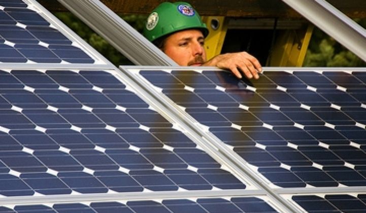
Photo via Flickr/Creative Commons.


 41
41
 15
15
 9
9